Cape York Trip – Post 11

Cooktown to Old Laura Homestead


The boys at the lure shop in Cooktown assured us that Battle camp road was open and that we would have no problems.  He had driven it last night.

They also suggested that we drive up through Lakefield national park. The road was open and it was better than the boring PDR - Peninsular Development Road.

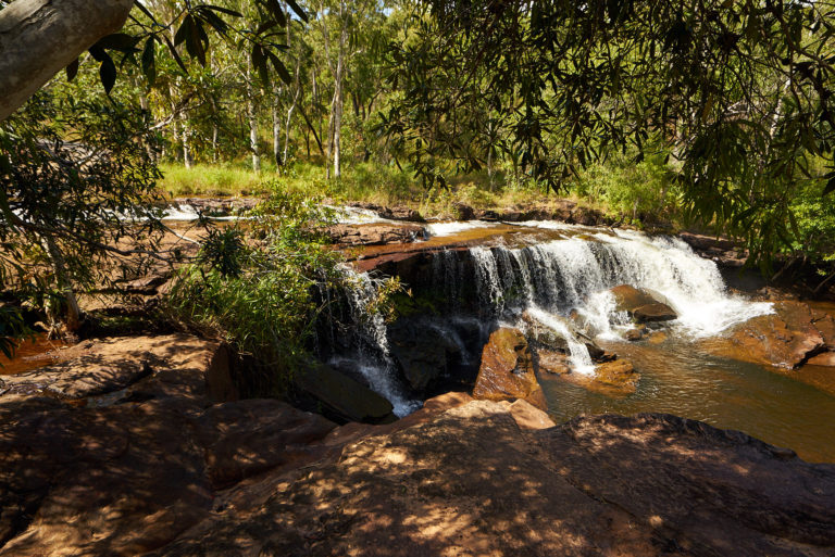
This photo is of the Isabella falls just down stream of the first creek crossing on our way to the Laura river.
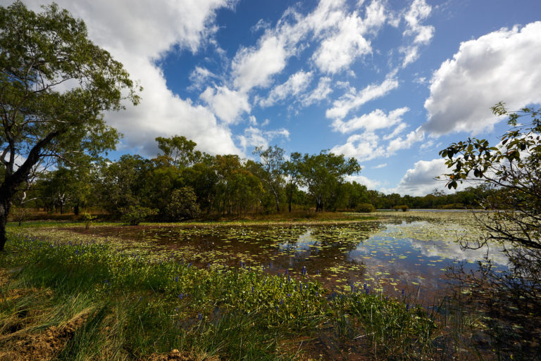


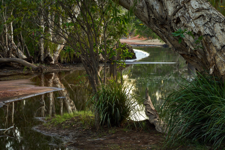
Horseshoe lagoon


Horseshoe lagoon on the way to our camp at Old Laura homestead.
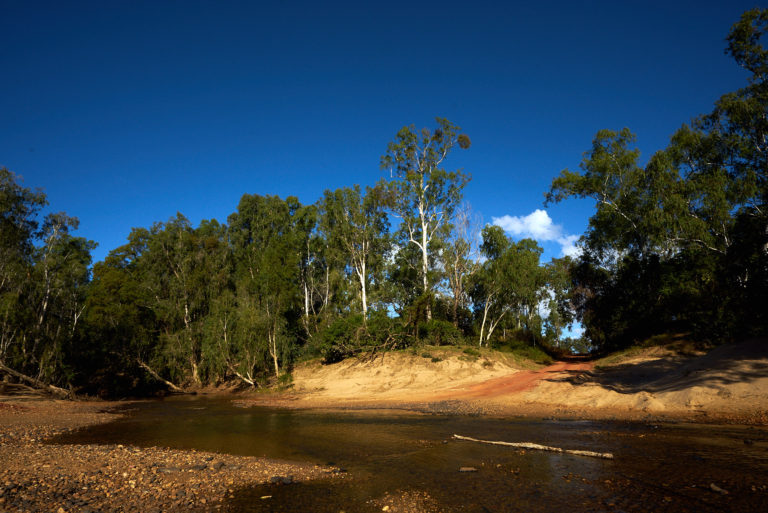


Laura river crossing


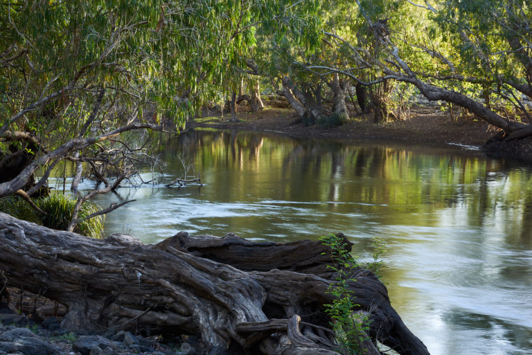
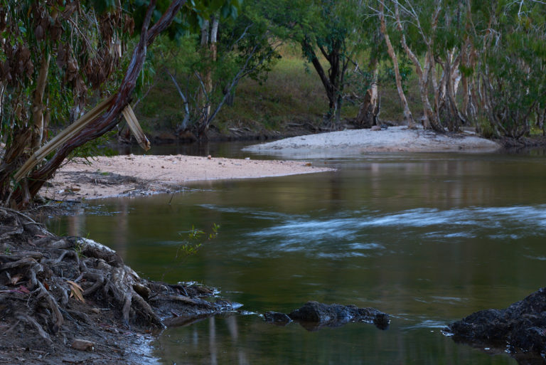
Our camp site is on the banks of the Laura river adjacent to this crossing. The crossing is not a causeway but there is a lot of red gravel placed on top of the soft sand so it is not a problem.
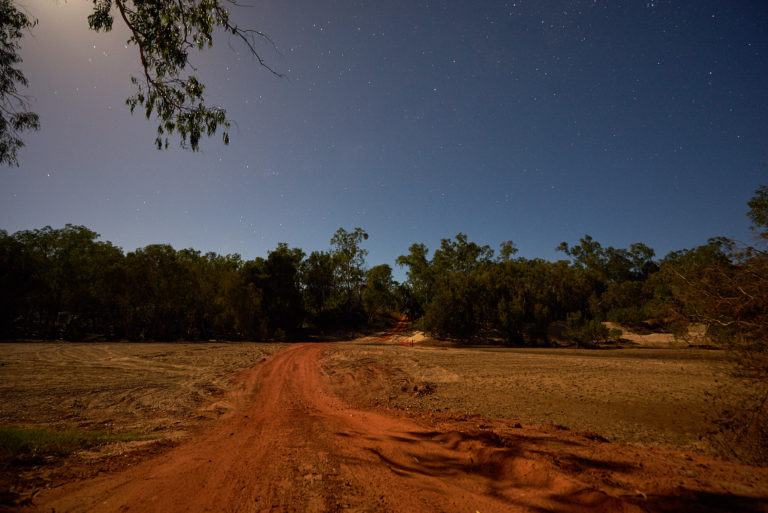


Laura Crossing


The same crossing at night - it was just about a full moon
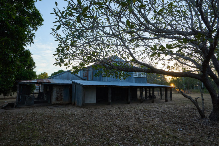


Old Laura Station


At one stage Laura station was running 8000 head of cattle. I suspect some of them are still here in the national park. We could here cattle calling on dusk.

Still the homestead was never anything flash constructed primarily of local felled logs and corrugated iron.
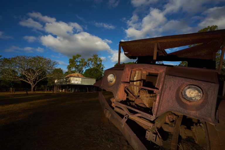


Old Laura homestead.


There is a photo in the display under the homestead that shows the delivery of a truck. This could well be that same truck.
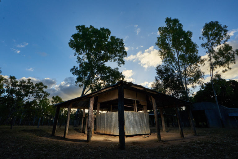


Old Laura homestead - butcher shop


The meat house.
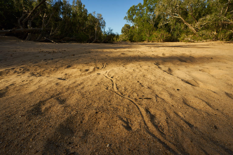


Laura river bed


Tracks in the sand bed of the Laura river. Goanna?


Cape York Trip – Post 12

Old Laura Homestead to Kalpowar crossing


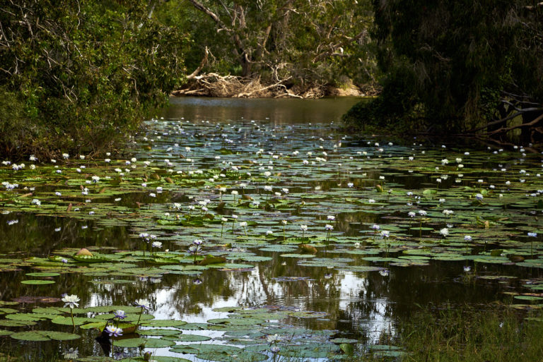
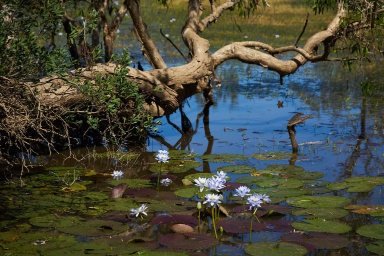
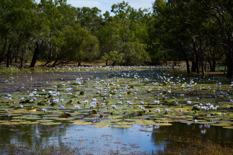
There are numerous water holes and camping spots off the "main" road through the national park. Most of them such as this one Catfish waterhole have lots of water lillies.


Old Faithful water hole.


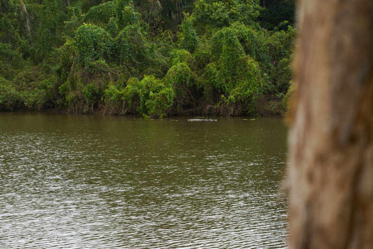
Had lunch on the banks of Old Faithful water hole. Perhaps it wasn't as picturesque as others we saw but it was the most interesting.


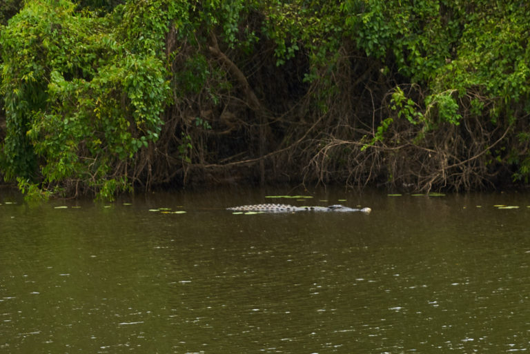
Crocodile cropped


I don't have a zoom lens with me but this is cropped from the above image. This fellow was scarily large and didn't give a rats about us or that we were watching him. Could even think that he was just cruising past to let us know that this water hole was his.


Termite mounds


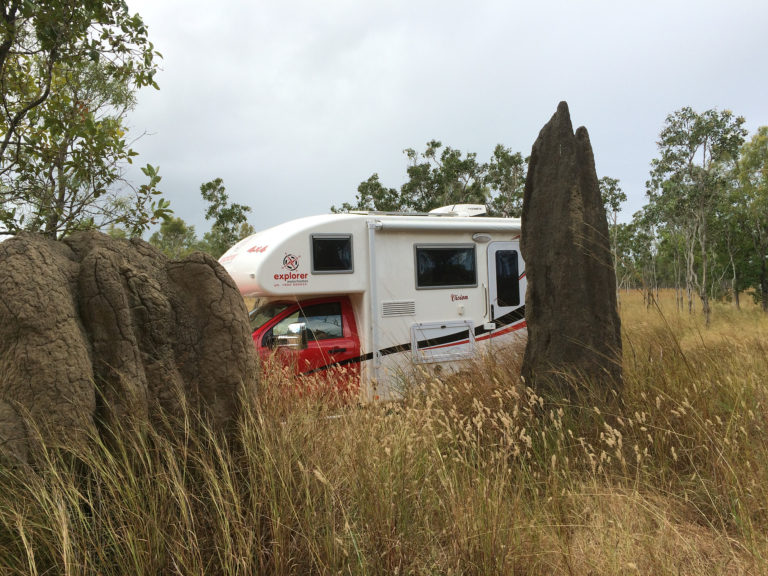
There are lots of large termite mounds and two distinct types. The most interesting are the tall thin ones. Similar to cathedral spires. I am not sure if there are two distinct species of termites.


Cape York Trip – Post 13

Kalpowar crossing on the Normanby river


Quite a long concrete causeway that we were not brave enough to consider crossing until we had watched other vehicles go through.

Kalpowar crossing is a nice camp site with toilets and showers - even if only cold water.


Kalpowar crossing - downstream


There are some rapids down from the crossing which empty into a lagoon. This shot is the end of the lagoon.

I spent a bit of time flicking a lure here. Caught a Tarpin, lost a lure, and then when I was packing up looked up and there was a croc in about the middle of this shot. Not huge but I would have estimated 5 to 6 feet.


Exploring the road to Cape Melville


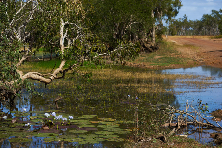
We did cross the causeway to have an explore. We discovered some nice wetlands right on the road. To the extent that I suspect only a couple of weeks ago the road would have been quite boggy. We got as far a creek crossing just a sandy bottom and deeper than anything else we had been over. We turned around and came back to camp.


Exploring the road to Cape Melville


As you can see these Lillies are really just beside the road.


Exploring the road to Cape Melville


More roadside water views, shot from the car.


Kalpowar discovery walk


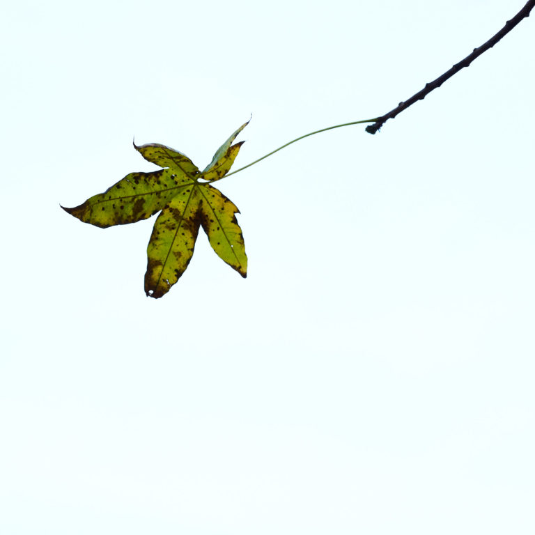
It took us a while and a few false starts to find the discovery walk. This shot of a Kapok tree leaf was taken from the walking track.


Cape York Trip – Post 14

Lakefield to Coen


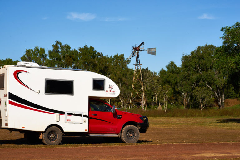
"Clifford" at the "old" Lakefield National Park ranger station. I don't think this windmill gets used to pump water. The reason we stopped here was to get a shot of the two Brolgas. As well as not having a long enough lens I was also way too slow getting my camera out. Should just use my phone 🙂


Red Lilly lake


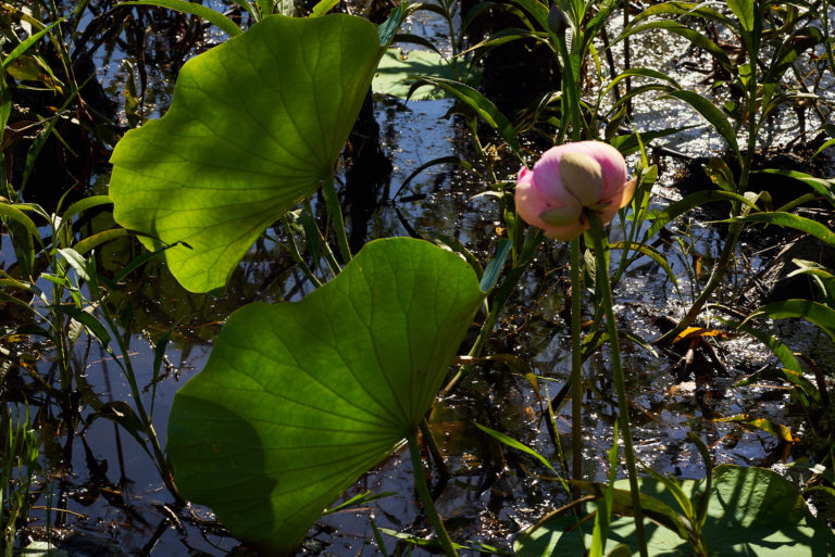
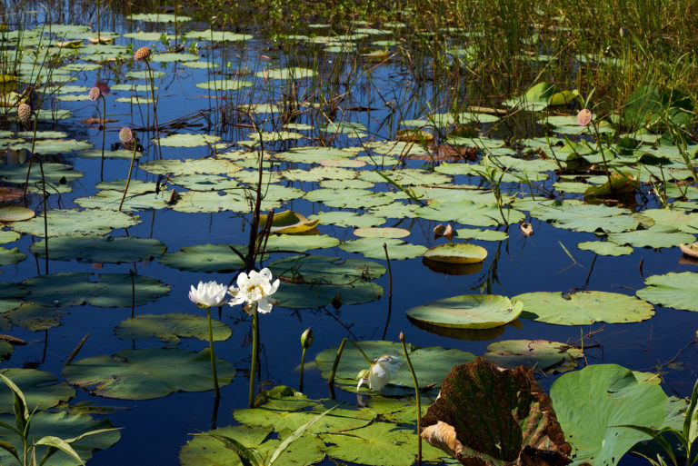
On the way out the road goes past White and Red Lilly lakes. This is one of the red lilly blooms at the Red Lilly lake. The lillies are a type of lotus.


Red Lilly Lake


A white water lilly at the Red Lilly lake ??


Lakefield to Musgrave and then Coen


After Hann crossing the road out to  Musgrave deteriorated with sections of large corrugations. I was thinking just wait until we get to Musgrave and the Peninsular Development Road and things will improve. Sadly this was not the case. Yes the road was wider but the corrugations were about the same:-(


Still we were rewarded by this campsite just north of Coen. This was the view almost from the door - and it was free.


Cape York Trip – Post 15 – Weipa

Weipa


So we made it to Weipa. The road from Coen to here was better than the road south of Coen. Still we did manage to break the internals of the mount for the UHF antenna 🙁

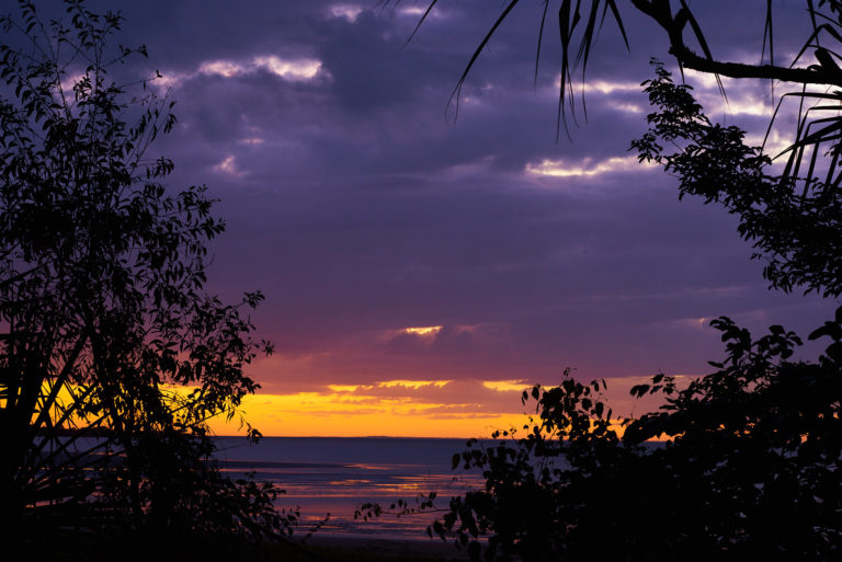
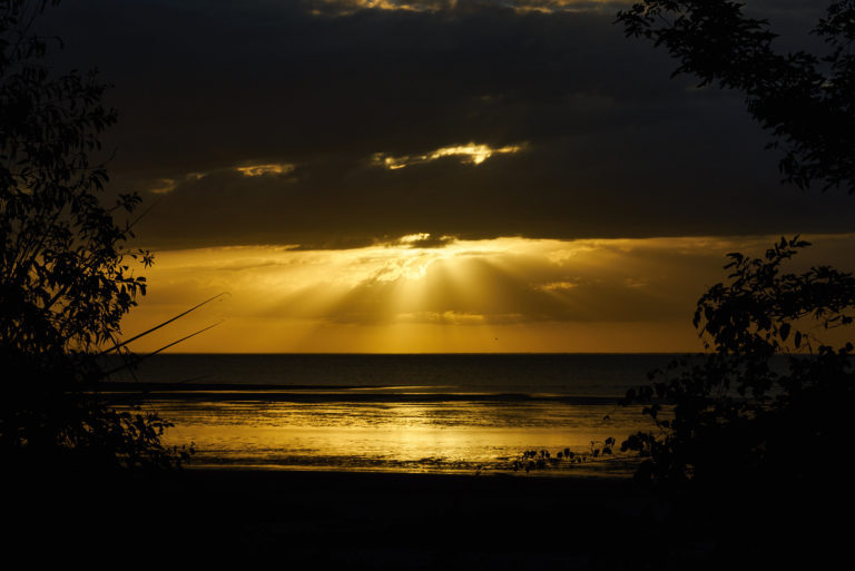
The caravan park is right on the beach and the sun sets over the ocean.

Bauxite loading


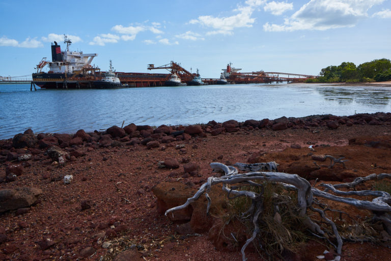
Yep Weipa is a Rio Tinto mining town. Drove past one lot of single mens barracks, and guess what all the parking is reverse in. (Work colleagues will understand this)

Two ships being loaded with Bauxite.


Weipa


Another Sunset from the Weipa caravan park.


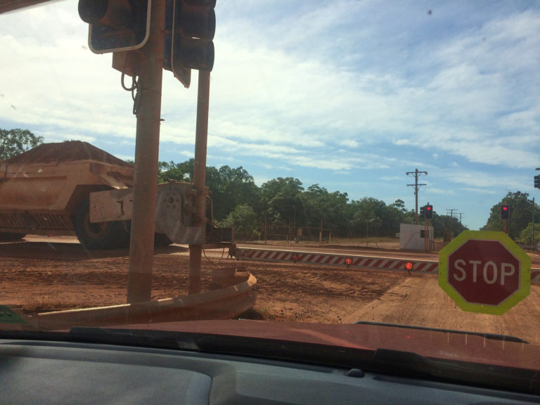
Weipa haul road


Coming out of Weipa we had to stop at the haul road for a haul truck. Can't believe that I nearly missed it with my phone. It was travelling very slowly.