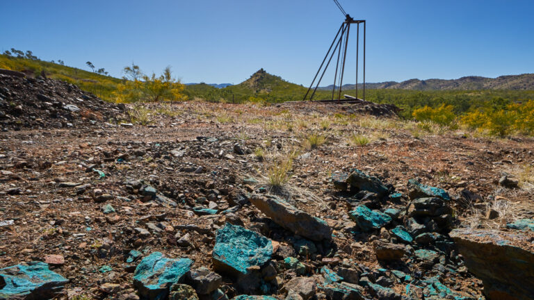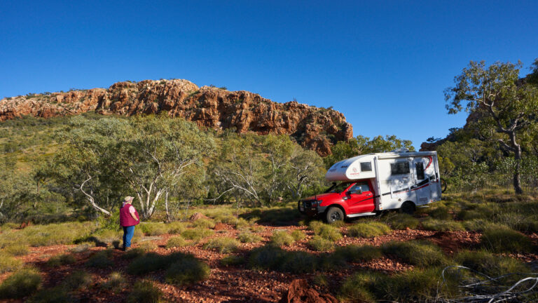
Fountain Range
Further south along the Fountain Range is another fault this time not with a spring but as you will see there is some temporary water.
siteorigin-premium domain was triggered too early. This is usually an indicator for some code in the plugin or theme running too early. Translations should be loaded at the init action or later. Please see Debugging in WordPress for more information. (This message was added in version 6.7.0.) in /home/icfotogr/public_html/IanCollard/wp-includes/functions.php on line 6121so-widgets-bundle domain was triggered too early. This is usually an indicator for some code in the plugin or theme running too early. Translations should be loaded at the init action or later. Please see Debugging in WordPress for more information. (This message was added in version 6.7.0.) in /home/icfotogr/public_html/IanCollard/wp-includes/functions.php on line 6121updraftplus domain was triggered too early. This is usually an indicator for some code in the plugin or theme running too early. Translations should be loaded at the init action or later. Please see Debugging in WordPress for more information. (This message was added in version 6.7.0.) in /home/icfotogr/public_html/IanCollard/wp-includes/functions.php on line 6121jetpack domain was triggered too early. This is usually an indicator for some code in the plugin or theme running too early. Translations should be loaded at the init action or later. Please see Debugging in WordPress for more information. (This message was added in version 6.7.0.) in /home/icfotogr/public_html/IanCollard/wp-includes/functions.php on line 6121gossip domain was triggered too early. This is usually an indicator for some code in the plugin or theme running too early. Translations should be loaded at the init action or later. Please see Debugging in WordPress for more information. (This message was added in version 6.7.0.) in /home/icfotogr/public_html/IanCollard/wp-includes/functions.php on line 6121